Mobile Menu
GPS / Sensors
9 products
Showing 1 - 9 of 9 products
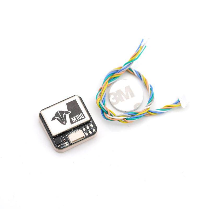
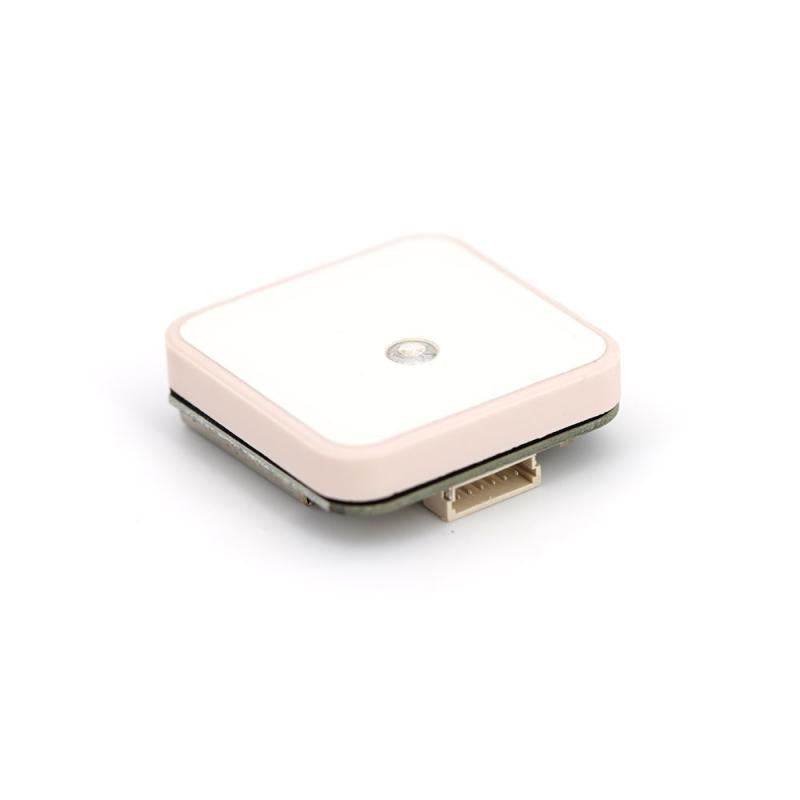
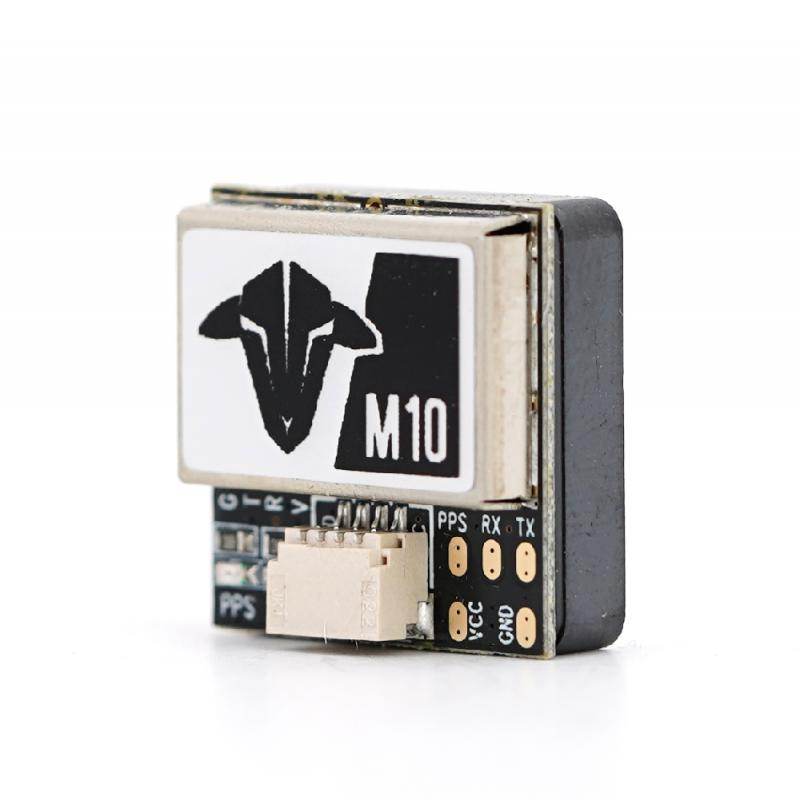
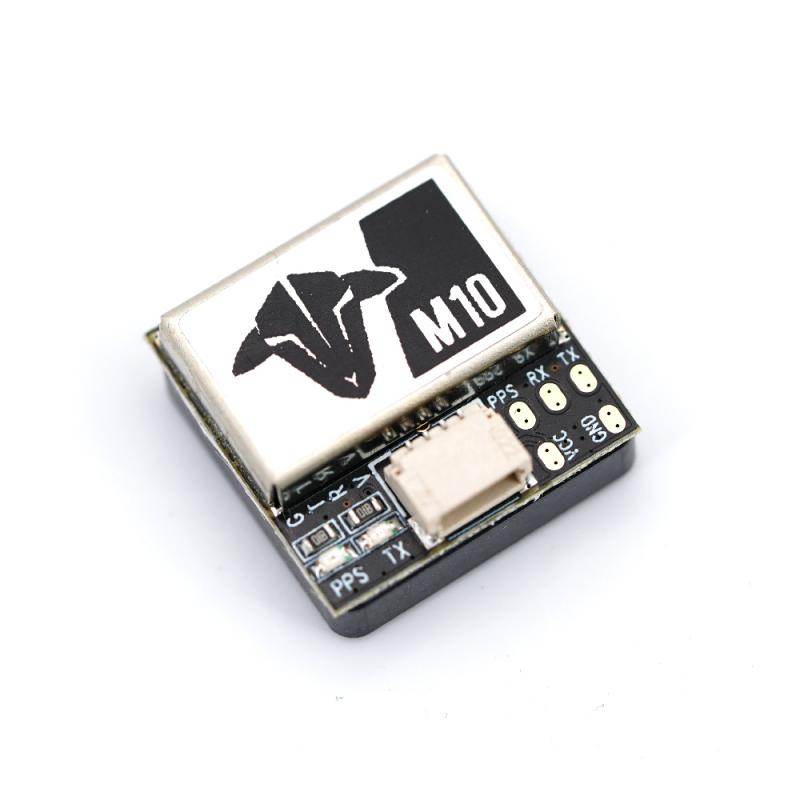
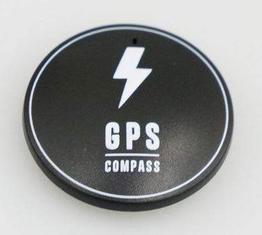
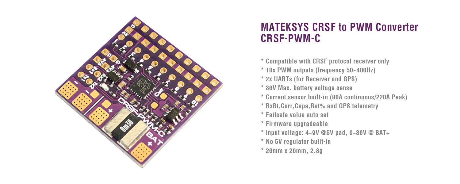
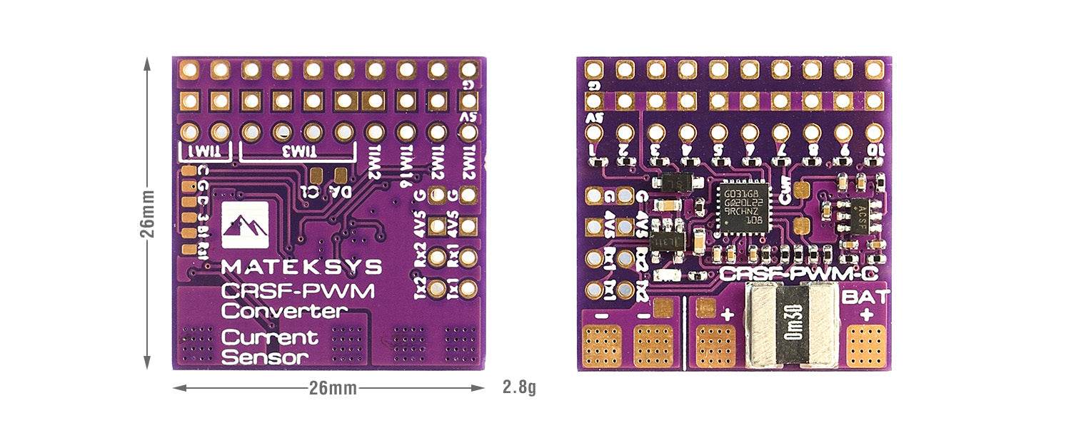
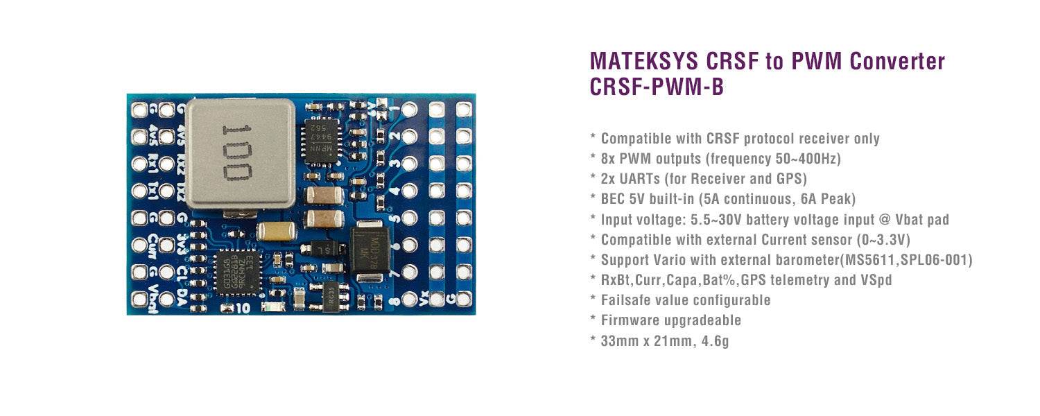
All GPS and sensor peripherals that Rising Sun FPV Stock.
Drone GPS and sensors are critical components that play key roles in the navigation, stability, and functionality of unmanned aerial vehicles (UAVs), commonly known as drones. These technologies enable drones to operate autonomously, maintain position and altitude, and gather data for various applications. Here's an overview of drone GPS and sensors:
Drone GPS:
-
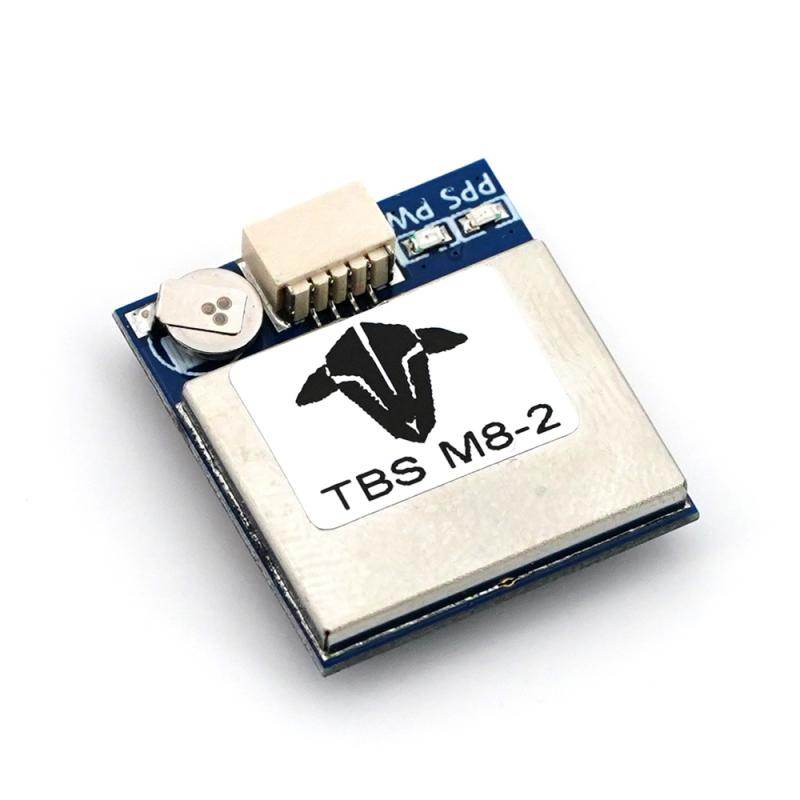
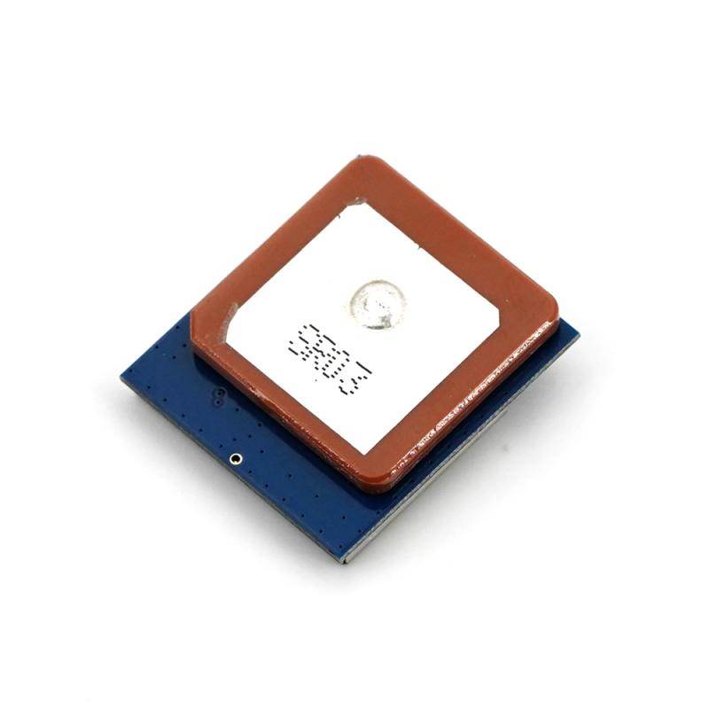
Global Positioning System (GPS): GPS is a satellite-based navigation system that provides precise location and timing information to drones. Most consumer and professional drones are equipped with GPS receivers that receive signals from multiple satellites to determine their position in three dimensions (latitude, longitude, and altitude). GPS is essential for accurate navigation and enables features like return-to-home (RTH), waypoint navigation, and geofencing.
-
GNSS (Global Navigation Satellite System): GNSS is a generic term that includes GPS as well as other satellite systems such as GLONASS (Russia), Galileo (European Union), and BeiDou (China). Many drones use multiple GNSS systems for increased accuracy and redundancy, especially in challenging environments.
-
RTK (Real-Time Kinematic): RTK GPS is a high-precision GPS technology that provides centimeter-level accuracy. It's often used in surveying, mapping, and agricultural applications, where precise positioning is critical. RTK requires both a base station on the ground and an RTK-enabled drone receiver.
-
Differential GPS: DGPS is a technique that corrects GPS signals using data from a ground station, improving accuracy. Some drones support DGPS for better positioning in areas with signal interference.
Drone Sensors:
-
Inertial Measurement Unit (IMU): An IMU is a combination of accelerometers and gyroscopes that measures an aircraft's acceleration and rotation rates. IMUs are crucial for stabilizing drones, helping maintain level flight and control during maneuvers.
-
Barometer: Barometric pressure sensors measure atmospheric pressure changes, which can be used to estimate altitude changes. Drones use barometers to maintain a consistent altitude above sea level.
-
Magnetometer (Compass): Magnetometers detect magnetic fields and provide drones with heading information, helping them maintain orientation. Magnetometers are especially useful for maintaining a fixed heading during flights.
-
LiDAR (Light Detection and Ranging): LiDAR sensors use lasers to measure distances to objects on the ground. They are often used in surveying, terrain mapping, and obstacle avoidance systems on drones, allowing for precise 3D mapping and collision avoidance.
-
Ultrasonic and TOF Sensors: Ultrasonic and Time-of-Flight (TOF) sensors measure distances to objects by emitting sound waves or laser pulses and measuring the time it takes for them to return. These sensors are commonly used for terrain following and obstacle detection.
-
RGB and Thermal Cameras: Cameras, both traditional RGB (visible light) and thermal imaging, are sensors used for capturing visual and thermal data for various applications, including aerial photography, surveillance, and search and rescue missions.
-
GPS Receivers (for Ground Control Stations): In addition to onboard GPS, ground control stations (GCS) used by operators can receive GPS data from the drone to monitor its position and track its flight path in real time.
-
Payload Sensors: Depending on the mission, drones may carry specialized sensors such as multispectral cameras, hyperspectral cameras, gas sensors, or radiation detectors to gather specific data for scientific, agricultural, environmental, or industrial purposes.
These drone GPS and sensors work in conjunction to enable precise navigation, maintain stability, and collect valuable data during drone operations. Advanced sensor technologies, coupled with GPS and GNSS systems, continue to enhance the capabilities and applications of drones in various fields, including agriculture, construction, environmental monitoring, and public safety.